Drone Services
Using drones in building surveying is a proven, practical tool that’s transforming the way we inspect, record and report on the built environment.
Drone Survey's
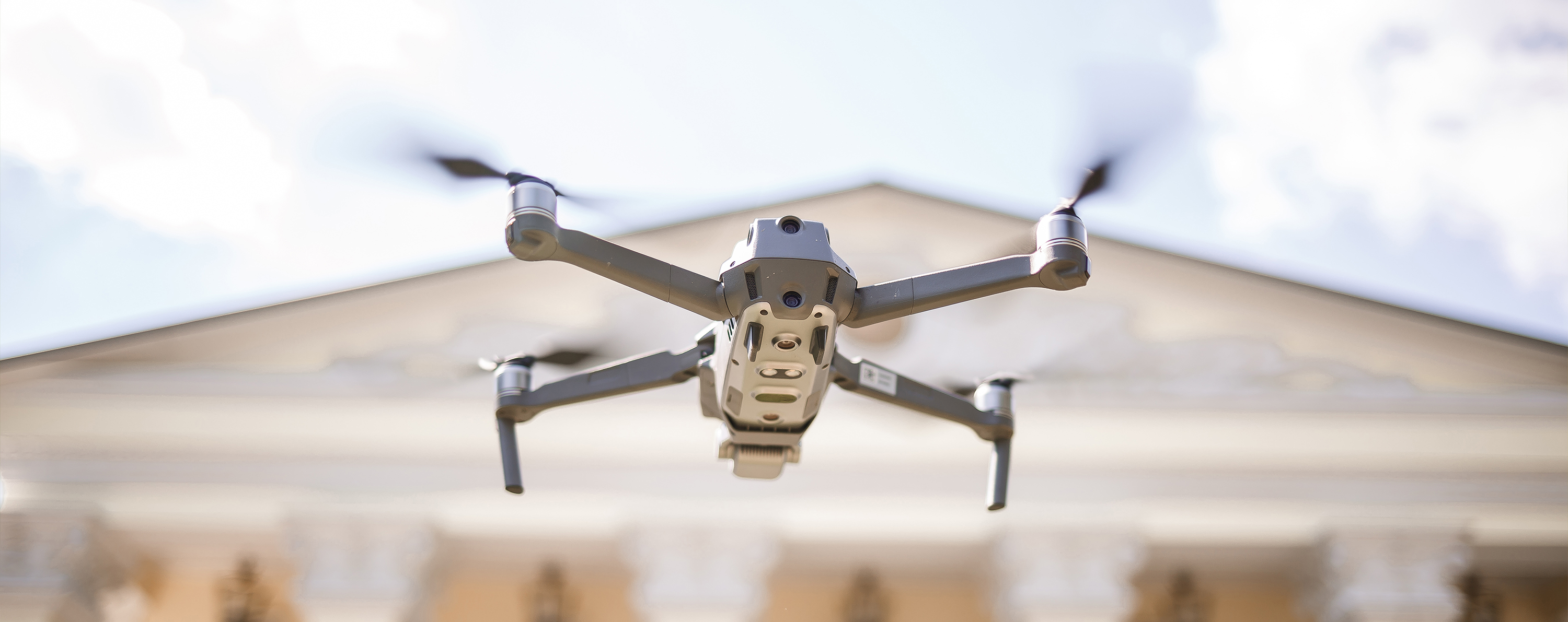
Drones (or UAVs) allow us to carry out high-resolution visual inspections quickly and safely, capturing detailed imagery of areas that would otherwise be hard or hazardous to access. Whether it’s a Victorian townhouse or a nine-storey commercial block, drone technology is making building surveying faster, safer, and more insightful than ever before. A drone survey isn’t just a flying camera—it’s a professional-grade diagnostic tool that gives surveyors and clients a clear view of a building’s condition, with the detail and accuracy needed for real-world decisions.
Why Choose Us?
Access Hard-to-Reach Areas
Drones allow us to inspect roofs, parapets, chimneys, and cladding safely and quickly—without the need for scaffolding or cherry pickers.
Smarter, Detailed Data
We capture high-resolution visuals, thermal imagery, and 3D models to detect issues like cracked masonry, heat loss, or moisture—integrated directly into your report.
Faster, More Cost-Effective
Drone surveys are quicker, less disruptive, and often far cheaper than traditional access methods.
Certified & Compliant
All flights are carried out by CAA-certified pilots, fully insured, and planned in line with safety and legal requirements.
FAQ's
Common Frequently Asked Questions for Drone Services
What types of buildings can be surveyed with drones?
From Victorian townhouses to nine-storey commercial blocks, we can survey a wide range of structures safely and effectively.
Do I need permission for a drone survey to take place?
We handle pre-survey planning, including desktop assessments, airspace checks, and CAA-compliant flight plans.
Is it expensive?
Drone surveys typically cost much less than scaffolding or MEWP hire. Pricing depends on:
● Building size and complexity
● Type of survey (visual, thermal, or 3D mapping)
● Travel and CAA planning requirements
What does a typical drone survey include?
● Initial consultation (objectives like leak investigation, thermal scan, or maintenance planning)
● Pre-survey planning and CAA compliance
● On-site flight with a qualified surveyor
● A full report with high-resolution imagery and professional recommendations
How long does the survey process take?
Flights are typically completed in under a day. Reporting follows shortly after, including defect identification, annotations, recommendations, and selected visuals.
How accurate is the data?
Our drones use high-resolution cameras, photogrammetry, and LiDAR to deliver accurate measurements and visual documentation that integrates directly into CAD drawings and inspection reports.