Drone Services
Drone Survey's
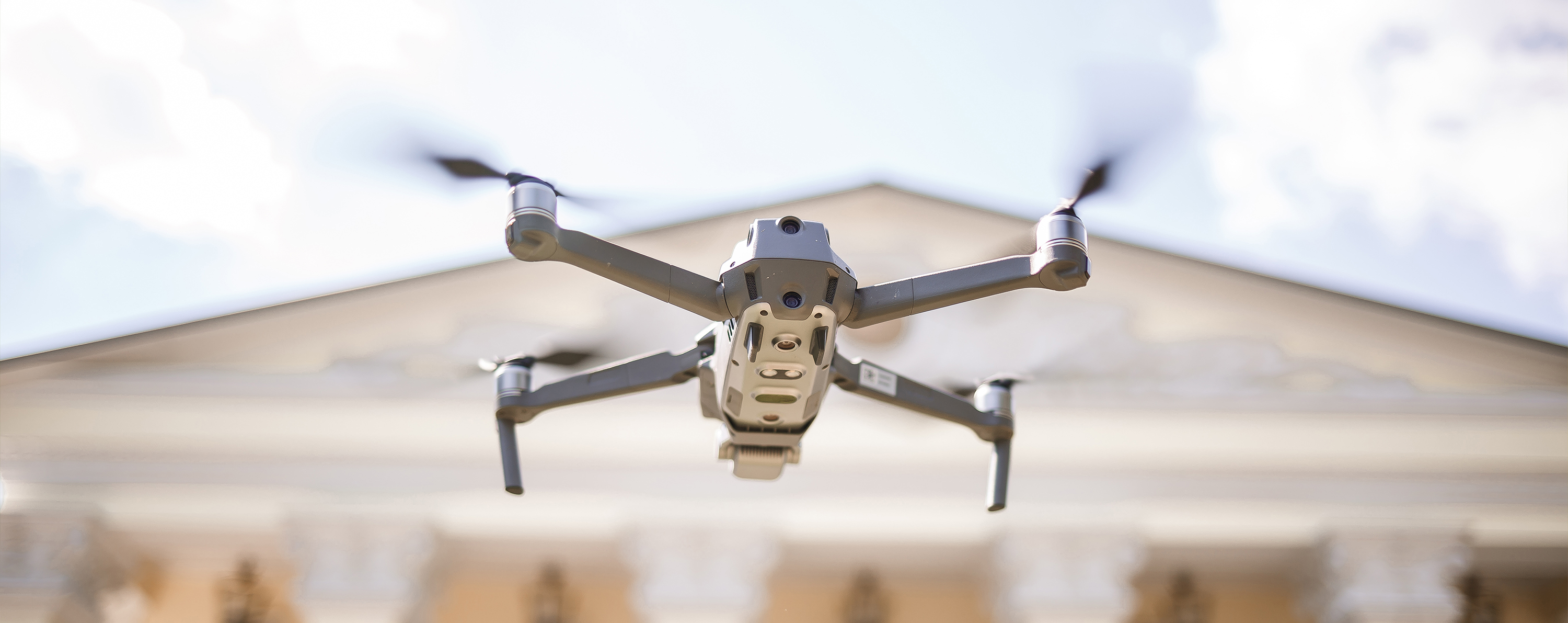
Drones (or UAVs) allow us to carry out high-resolution visual inspections quickly and safely, capturing detailed imagery of areas that would otherwise be hard or hazardous to access. Whether it’s a Victorian townhouse or a nine-storey commercial block, drone technology is making building surveying faster, safer, and more insightful than ever before. A drone survey isn’t just a flying camera—it’s a professional-grade diagnostic tool that gives surveyors and clients a clear view of a building’s condition, with the detail and accuracy needed for real-world decisions.
Why Choose Us?
Access Hard-to-Reach Areas
Drones allow us to inspect roofs, parapets, chimneys, and cladding safely and quickly—without the need for scaffolding or cherry pickers.
Smarter, Detailed Data
We capture high-resolution visuals, thermal imagery, and 3D models to detect issues like cracked masonry, heat loss, or moisture—integrated directly into your report.
Faster, More Cost-Effective
Drone surveys are quicker, less disruptive, and often far cheaper than traditional access methods.
Certified & Compliant
All flights are carried out by CAA-certified pilots, fully insured, and planned in line with safety and legal requirements.